

I was quite pleased that I had managed to sort out a route across Medicine Hat to avoid the section of the Trans-Canada where cyclists are not allowed and upload it from my computer to my Garmin. I managed this without the assistance of a 12 year old.
Leaving our campsite around 8:30 a.m. the first part of the route went well. Cycling initially on the Trans-Canada to a point where I crossed the highway to cycle through a subdivision to hook up with a trail that would take me across town. First problem, upon arriving at the trailhead it was blocked by a large concrete block with a sign “Trail Closed”.
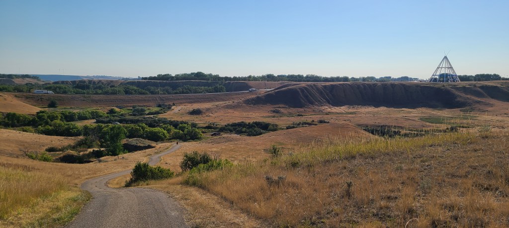
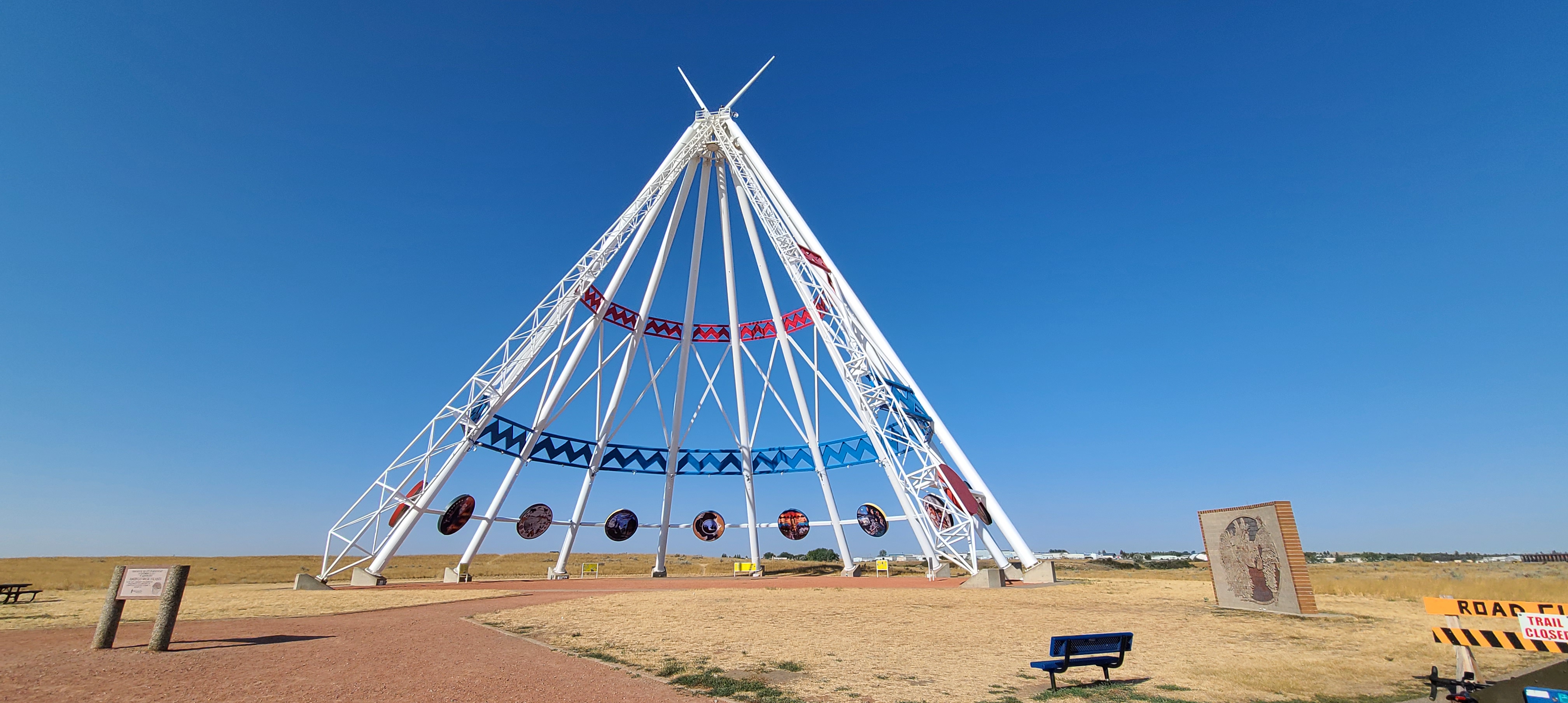
I cycled back through the subdivision and back across the highway thinking that I would call Deb to take me across town to where I could cycle on the Trans-Canada. Instead, I found an alternate route south of the highway. Again, initially this went well as my phone prompted me where to turn only to end at a closed road. Third time I found a route that took me down a steep hill on a trail. At the bottom of the hill I came across a work crew replacing a bridge, trail closed. A nice workman redirected me and after a significant climb I ended up at a large teepee structure adjacent to the highway. The whole procedure had probably covered 8km and took over an hour and a half. Not a great start to the day.
Once on the Trans-Canada I found 20km an hour winds with gusts up to 30 km. Heading for highway 41 with a destination of Cypress Hills Interprovincial Park both my phone and garmin directed me off the highway at Eagle Butte Road. A turn off angling towards highway 41 looked great, paved and no traffic. That lasted for a few km and the road turned to gravel for at least 10 km before getting to highway 41. By the time I reached 41 the bike was caked in dust and that is all I could taste.
Reaching highway 41 and continuous pavement was a blessing. The only remaining issue was the wind. So strong at times I swear that if I didn’t peddle going down hill I would be going backwards.
Finally reaching the park entrance I had covered 72 km in 5 1/2 hours. Initially I had planned to cycle a total of 125 km today. Not happening today, perhaps tomorrow.


Leave a comment